Kykoedie
historic working farm
on the road between Bredasdorp and Riviersonderend
Kykoedie sits at the heart of the Overberg's wheat belt
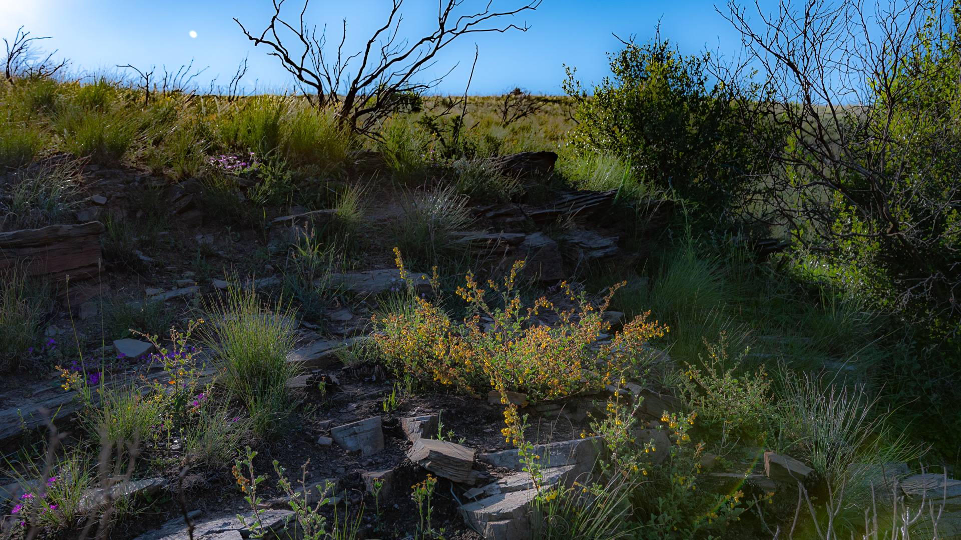

canola farming across the rolling Rûens
Kykoedie
Overberg's wheat belt
A landscape shaped by generations of grain, sheep, and canola farming across the rolling Rûens.
A historic working farm on the road between Bredasdorp and Riviersonderend, Kykoedie sits at the heart of the Overberg's wheat belt — a landscape shaped by generations of grain, sheep, and canola farming across the rolling Rûens. The farm straddles the Sout River at its half-way point on the journey to De Hoop Vlei, placing Kykoedie within one of the region's key ecological corridors, where the working farmland meets the last fragments of the critically endangered Renosterveld.
A Name Centuries in the Making – Kykoedie's name has deep roots in the Cape's colonial past, recorded as early as 1797 by the diarist Duminy as "Koeijkoude," a farm situated near a landmark called "Blouwe Klip" (Blue Rock) — a name that has shifted in spelling and pronunciation over more than two centuries while the farm itself has remained on the same stretch of land.
Life Along the Sout River – Kykoedie lies at the halfway point of the Sout River's course between Bredasdorp and Riviersonderend, a watercourse that ultimately feeds the De Hoop Vlei Ramsar wetland — making the farm part of a living ecological corridor connecting inland farmland to one of the Western Cape's most important protected wetlands.
Part of a Bigger Conservation Story – The farm has featured in Overberg-wide efforts to restore degraded watercourses, work that recognises rivers and streams like the Sout as the "lifeblood" linking scattered Renosterveld remnants across an otherwise heavily farmed landscape.
Rooted in the Rûens – Like much of the surrounding countryside, Kykoedie sits within the Overberg Rûens — the undulating wheat and canola country between Caledon and Bredasdorp — a landscape that has supported continuous agriculture for well over a century.
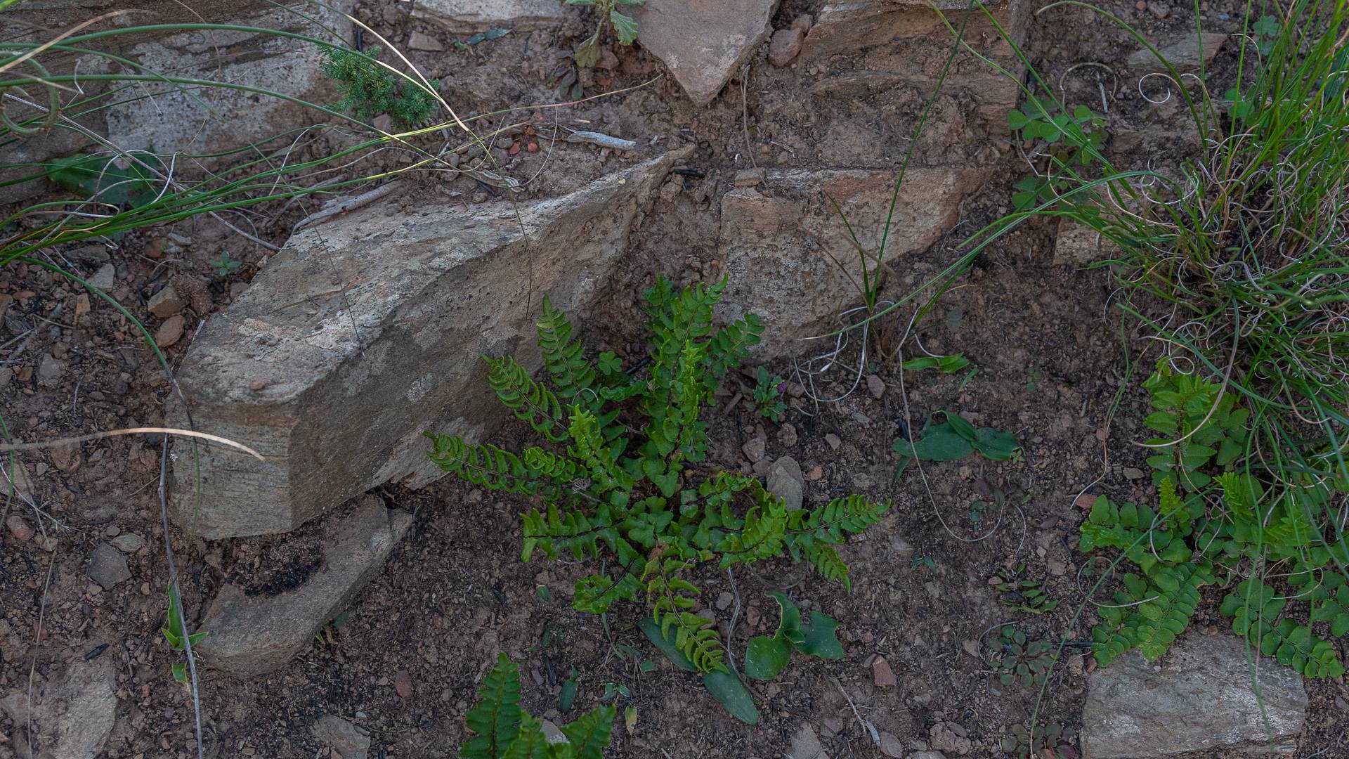
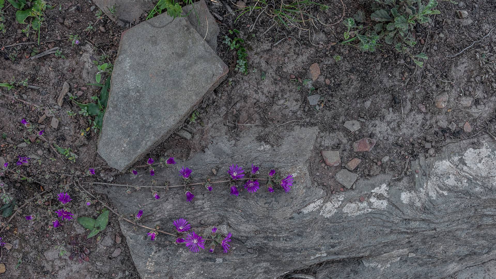
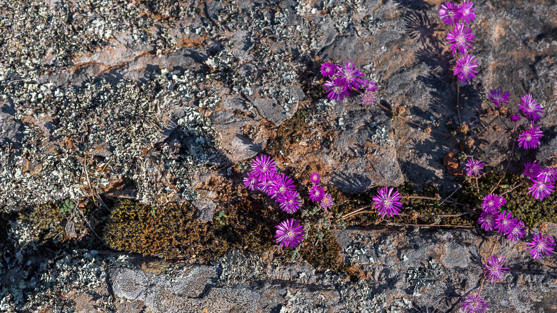
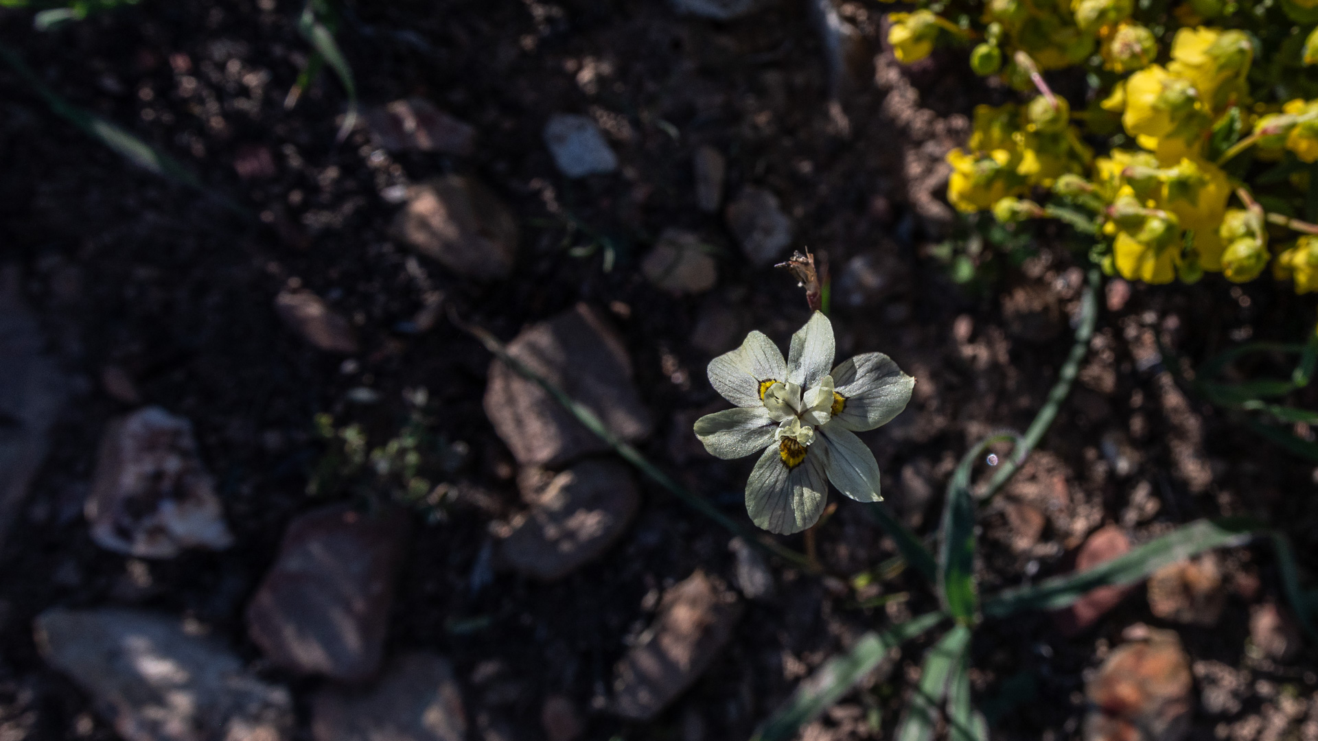
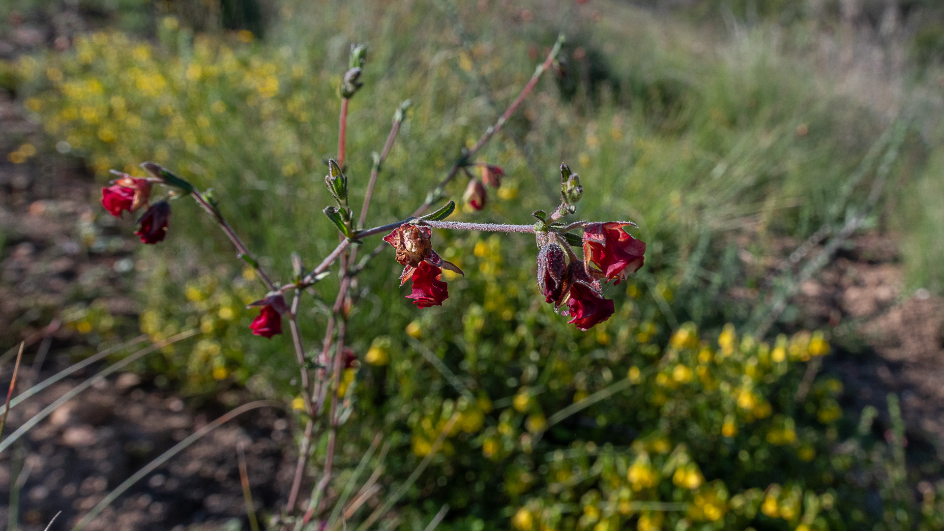
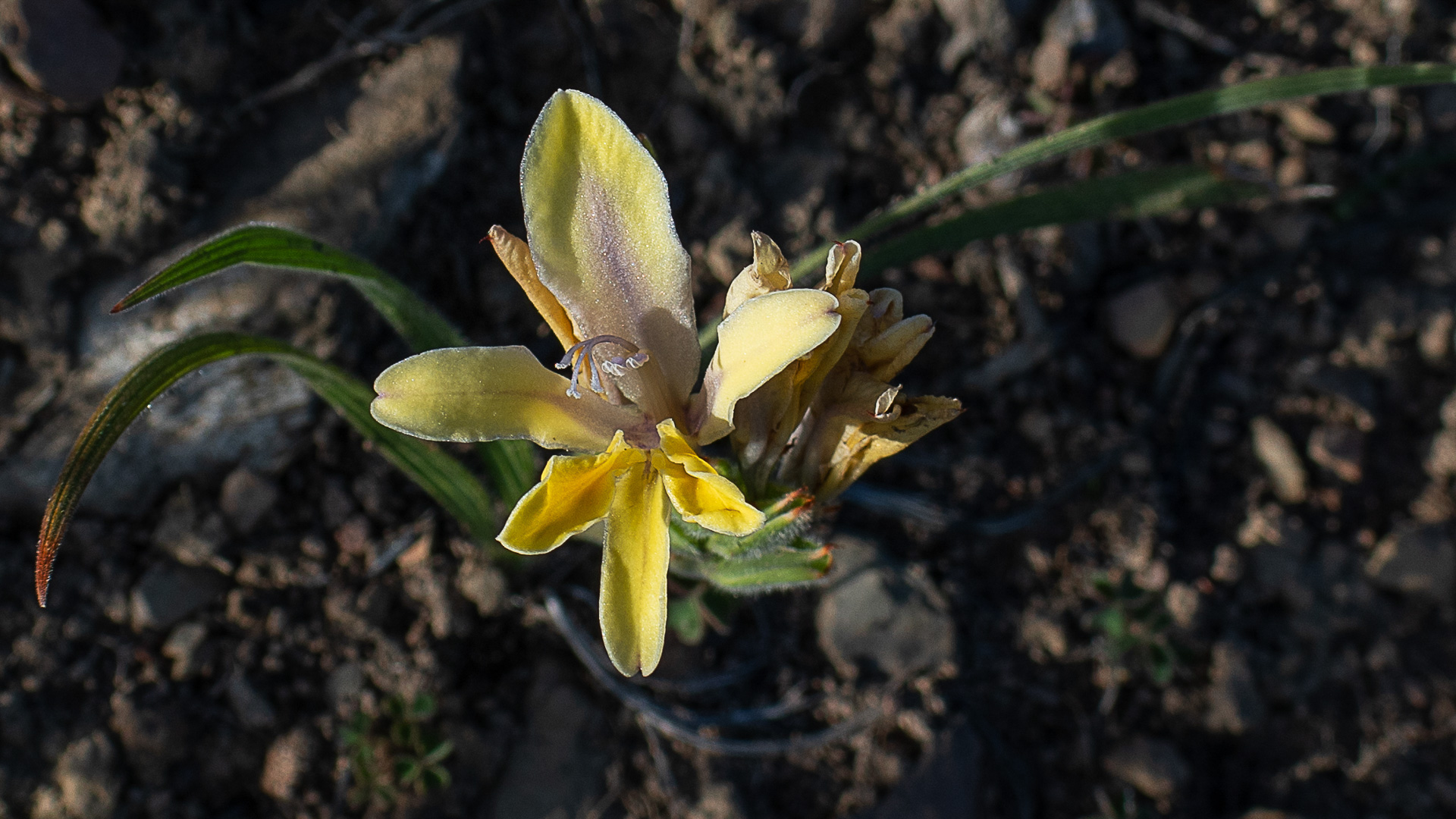
Farming Beside a Vanishing Ecosystem – Kykoedie's location places it directly within the range of Eastern Rûens Shale Renosterveld, one of the most transformed vegetation types on Earth, with less than 5% remaining — meaning working farms like Kykoedie sit at the front line of balancing agriculture with the survival of this critically endangered habitat.

Flower Valley Conservation Trust
Flower Valley coordinates the ABI across the Overberg, implements the ABI Alien Clearing Project
ABI is a landscape initiative bringing together private landowners, farmers, government departments, and conservation organisations to work collaboratively to secure a healthy natural environment across the Overberg.

